When looking at this day on the schedule, I thought it could have been called “ Red Rocks to the Rocky Mountains.” We were leaving after nine or ten days in Utah to go to a Rocky Mountain High. But the day did not turn out this way…
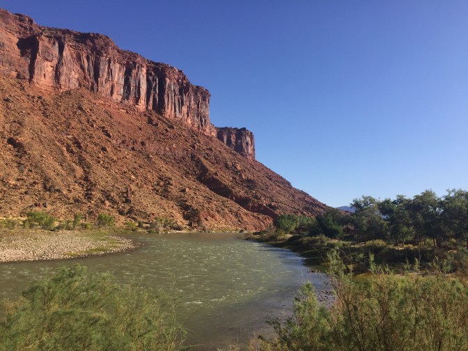
First, a reminder. We started off by driving along the Colorado National Recreation Area. This was the location of my conversation with the Colorado River. The red rock continued on both sides of the river, cut over millenniums by river flow and ice cracking.
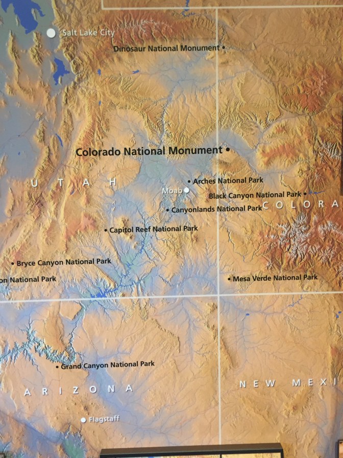
Then we broke out into a high desert plain as we approached Colorado. We saw mountains in the distance and signs that read, “West Slope of the Rocky Mountains.” But when we reached the outskirts of Grand Junction, we saw signs for the Colorado National Monument… Since we were still early in the day, we stopped at a local visitor’s information office, and I asked if it was worth visiting. The volunteer manning the office stated that it was, and told us to take the road that ran toward the distant Mesa. So we did.
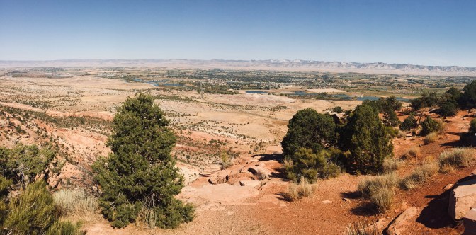
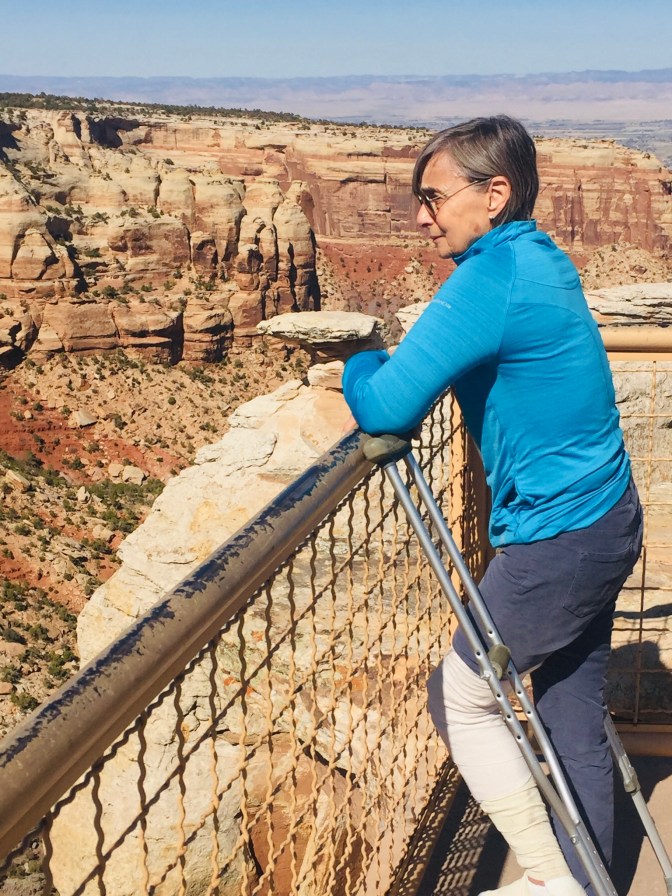
I have to admit that I was not prepared for what we were about to do. The switchback road was probably the windiest of the entire trip and the ascent cliffs without guardrails made me a little queasy. We finally made it to the top to find out that we were on top of another red rock mesa on the Colorado Plateau with an elevation of 6,700 feet after climbing about 2500 feet from the valley below.
A little history… Up until the early 1900s, the locals thought this area was impossible to access. Then a local, John Otto, started cutting trails up the canyon walls. He also petitioned to have the mesa declared a National Park. Delays in Congress (some things never change) jeopardized the entire process, so President Taft, who had visited the area, stepped in and declared it to be the Colorado National Monument. Mr Otto was named the Monument’s first park ranger at a salary of $1/year. He continued to cut and maintain trails for the next 15 years, living on the Mesa in a tent. There are continued mentions of a promotion to National Park status, but its small size may keep it at its current status.
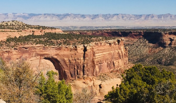


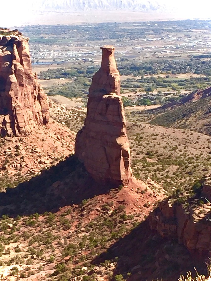
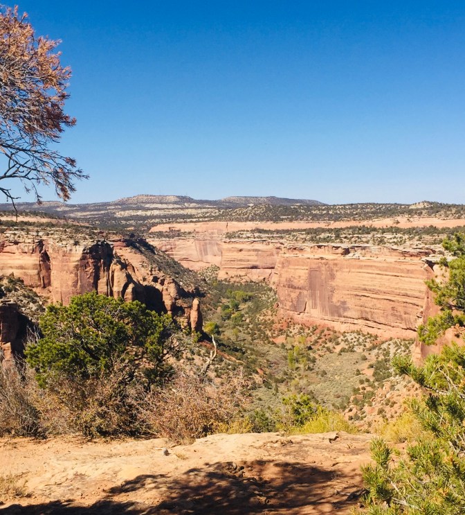
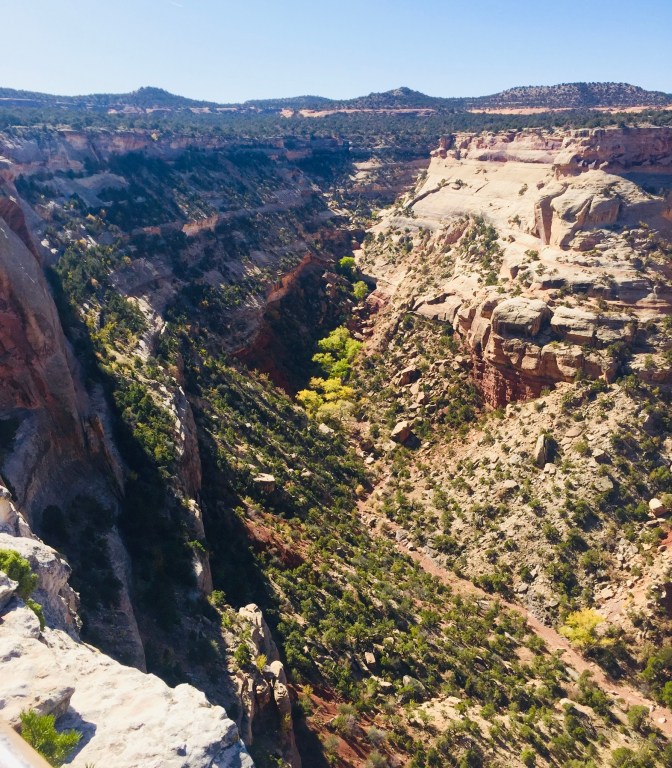
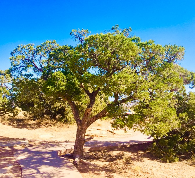
From the Mesa rim, we looked down at eroded slot canyons, the city of Grand Junction, and the upcoming mountains in the distance. The entire drive was 25 miles, up the west entrance and down the east, which brought us right into our destination. There are hikes, but they all seem to start or end at the rim with strenuous elevation changes. We also saw a number of road bikers doing the 32 mile loop from Grand Junction, a tough ride with its 2500 foot elevation climb. Best of all, we did not experience the Utah crowds despite seeing canyons below that were nearly comparable. We were so lucky to have stopped and found this little treasure while lingering a little while longer in the red rock canyons.
One last note… We followed the Colorado River all the way to Grand Junction. I’m not sure if it had any influence in the building of these canyons as it flows a few miles away.
