On our second day in SFO, we traveled north across the Golden Gate Bridge to my home town of Mill Valley. Mill Valley is only seven miles from the urban sprawl, and had a population of about 10,000 while I lived there. It rests on the flank of Mount Tamalpais, and includes both State Park and National Monument. Mill Valley is the home to the closest redwood trees from SFO. To reach my childhood home, you had to drive a road that split lanes when passing a 200 foot redwood… The bark was painted white so the drowsy traveler would not crash into it at night.
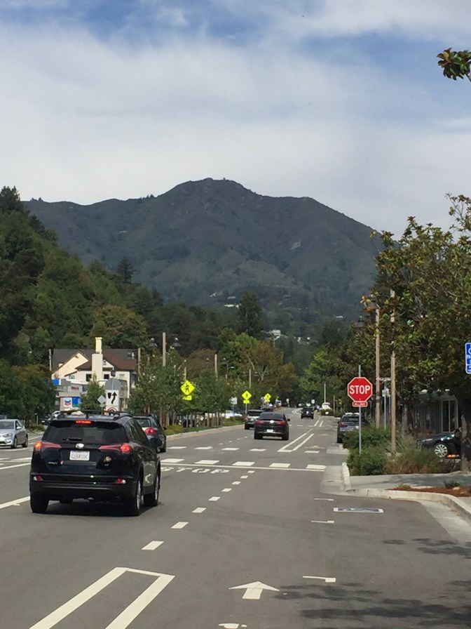
We started the day by finding a laundromat on Mill Valley’s main road. No big deal except for the view, above, from our parked car. Afterwards, we drove to an Inn about a third of the way up the mountain, to have lunch with my best childhood friend, Bruce. He wanted to be a history professor, but dropped out after his M.A. because of his poor employment prospect. So he joins his father’s business which tested wine acidity and made wine corks. Forty years later, he has traveled to Europe 80 times for business, and in retirement, has gone back to studying European History. It was a great catch-up. He also suggested that we drive to the top of the mountain…That there was a paved circular path Mrs Bear could navigate at the summit.
Off we go… And I am not sure what happened in the 20+ years since I last drove this 10 mile mountain road. Someone had torn up the old road and repaved it with one that was much more narrow!! I pointed out some sights to Mrs Bear, who replied that she was too scared to look at them. My masterful driving skills got us to the top, and indeed, there was a great walking path to look out in 360 degrees. First, we talked to the volunteer in the railroad exhibit.

He reminded me that the Tamalpais Railway had 281 curves from its junction in Mill Valley to the top of the mountain. Folks would start in SFO by taking a ferry across the Golden Gate, then board the railroad in open-air cars. He didn’t mention it, but I think there was a lodge for overnight guests. Rails can still be seen on the paths if one hikes on the mountain.

We then started our walk. This is the view looking north toward Sonoma County in the distance. The lake is Bon Tempe Lake, one of five reservoirs in the watershed.

A little further brought us to a northwest angle. Close study will show the Richmond – San Rafael Bridge, with San Quentin State Penitentiary at the near end of the bridge. San Francisco Bay continues on to the northwest (left) toward it headwaters of the Sacramento and San Joaquin Rivers.

Walking to a vantage point looking southwest delivered the next photo of San Francisco Bay… Mill Valley is below. The closest part of the bay is called Richardson Bay, with Angel Island on the left and Alcatraz straight on. The lovely town of Tiburon juts out in front of Angel Island. On the far right over the headlands is San Francisco, unseen due to its fog cover.

We drove back to mid mountain, and turned to take the coastal route back. This brought us to the vista of Stinson Beach and the Pacific Ocean. There is a hiking trail called the Dipsea, that begins in Mill Valley and ends seven miles later at the beach. Once a year, they run it as a race…But we mortals can hike it and take a shuttle back to town. However, it is not wheelchair friendly.
Our road brought us back to the Bridge and SFO… Tomorrow, we stay closer to home in Golden Gate Park.
