As I mentioned in my last post, Cairns is located where all major Aussie cities are found: Adjacent to their beautiful coastline. But Cairns forsakes gentle uphill grades to outlying suburbs in favor of ascents of steep mountain slopes. These mountains also contain over 12,000 square miles of one of the oldest rain forests in the world. The Australian government became concerned about deforestation in the 1990s… So they did something REALLY unusual. They picked a spot and decided that there would be no advancement of electrical grids past that point. Imagine that!! A dramatic move to limit human consumerism!!


Our first full day was devoted to a trip into and out of the rainforest. The pictures above show our route in: Via the Skyrail Rainforest Cableway. This gondola transport soars above the Barron Gap National Park. Construction started in 1994 and took three years. Because it was constructed in a National Park, it took five years to gain consent from numerous ecological boards and the local Aboriginal tribes. 32 towers were erected without any type of roadway. Materials and workers were brought in by helicopters. The Cableway was broken into three separate rides, with the opportunity to walk along wooden skyways at treetop height at the two stops. The entire length of the project is 7.5 kilometers, and ends at the picturesque town of Kuranda.


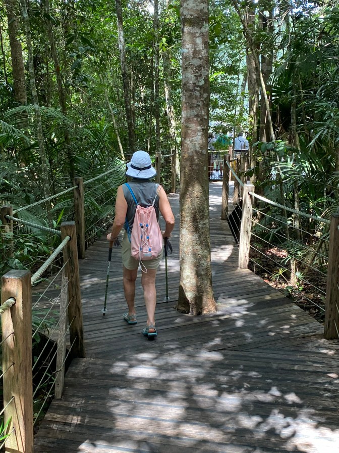
Upon arrival, we had choices. We could have taken a shuttle into town, but we decided to take the scenic jungle walk along the Barron River.


This still left us enough time in town to have the perfect lunch of a local brew to rehydrate, followed by gelato to cool down
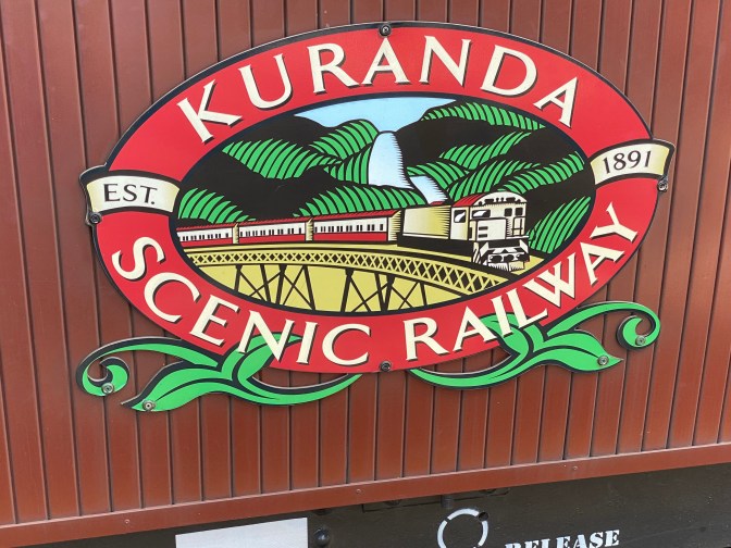
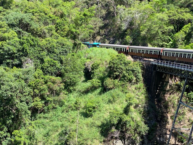
For the trip back down, we chose the Kuranda Railway, which was built on the opposite side of the National Park gap from the Skyway. This railway was originally built in the 1880s to supply gold rush miners with supplies from Cairns. It includes 15 hand made tunnels and 37 bridges. Three million cubic meters of earth were excavated, by manual labor, during the five years of construction. The track actually begins in downtown Cairns and winds for 23 miles to the village of Kuranda. The cars are antique, dating back to the 1920s.
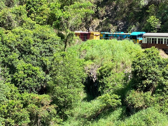
The track was heavily used during WWII for transport of war materials and troops between training posts. Since then, it has become a tourism attraction. The train heads up and down the mountain, once each day, on the opposite side of the Barron Gorge from the aerial skyway. So the views and experiences are quite different.
At the beginning of the mountain climb, there is a 180 degree horseshoe bend to the track. We were told that this was so the engines could build up some speed before the ascent. We actually have a similar curve in our home state of Pennsylvania for modern rail, and I never knew this was for speed rather than simply for natural terrain. We made it back to Cairns with ample time to walk the streets and see our bat neighbors prepare for their flight into the same rain forest at sunset. All in all, a wonderful experience.
